

Making Public Works Smarter with Geotab: Safety and Winter Operations
Written by Courtney Woodward | Read
Table of Contents
Public works fleets face constant pressure to do more with fewer resources, especially during winter when road conditions change quickly and service expectations rise. This month's webinar was hosted by DiCAN, Jeff Crothers (Sales Representative), Heather Carlton (Sales & Customer Success Manager) and Geotab Bryan Lohbeck (National Business Development Manager, Public Sector (Canada)). The session covered practical tools inside Geotab that help teams manage risk, reduce costs, and support better decision making throughout the season.
Webinar Video
Building Safer Fleets Through Better Visibility
Paper route maps and static spreadsheets make it difficult to track real-time activity or confirm progress during operations. Rasters.io simplifies this process by bringing those same routes into a live digital environment connected with Geotab.
Safety remains one of the top concerns for municipal fleets. The webinar highlighted how Geotab’s built in safety features can help public works departments understand driving behaviour, reduce collisions, and create more consistent safety practices across the team.
Managers can track harsh braking, cornering, speeding, seat belt use, and other high risk behaviours. These insights help identify trends across the fleet and guide coaching conversations. Municipalities also gain access to benchmark reporting that shows how their drivers compare to similar fleets, giving managers a clear picture of where improvements can be made.
Another major focus was reducing idle time. Idling is common during winter operations, but it also increases fuel costs and contributes to unnecessary wear on equipment. Geotab provides real time and historical data that helps fleets understand where idling is avoidable and create policies that balance operational needs with fuel savings.
Enhancing Winter Operations with Actionable Data
Seasonal turnover and new staff onboarding are constant challenges for municipal fleets. Rasters.io helps new operators get up to speed faster by presenting routes in a clear, visual format. With step-by-step guidance available on screen, even those unfamiliar with an area can complete routes confidently and consistently.
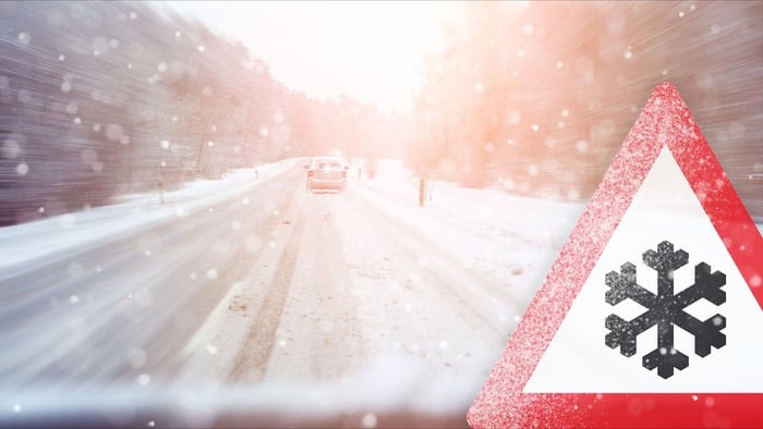
Winter operations present unique challenges for municipalities. Snow events are unpredictable, operators rotate seasonally, and route consistency is critical. The webinar explained how Geotab’s Public Works features give managers the visibility they need to keep winter services reliable and efficient.
With Geotab, public works teams can:
- Track plow activity and confirm where services have been completed
- View material usage such as salt, sand, or brine
- Monitor spreader rates for consistency and cost control
- Review route coverage to identify missed segments
- Provide quick proof of service when requested
The ability to visualize plow routes on the map makes it easier for managers to make informed decisions during fast moving storms. For municipalities that oversee multiple yards or contract partners, this level of transparency improves coordination and reduces communication gaps.
Supporting Operators with Simple and Consistent Workflows
Staffing changes are common during winter. Seasonal operators may be unfamiliar with local routes or equipment, and experienced drivers may rotate between districts. The webinar emphasized the value of giving operators simple tools that support consistent performance.
For managers, automated reporting reduces the time spent piecing together individual route sheets or verifying activity across multiple vehicles. Instead, daily summaries and exception reports consolidate everything into a format that is easy to review and share.
Smarter Tools for Stronger Winter Operations
The webinar made one thing clear. Municipal fleets do not need more paperwork or more complexity. They need tools that give them reliable visibility, help operators perform consistently, and support better decision making during busy seasons.
Geotab’s Public Works tools give municipalities the clarity they need to run safer, more efficient, and more accountable winter operations. From material tracking to route verification and driver safety, these features create a strong foundation for modern fleet management.
👉 Contact info@dicaninc.com for pricing information, or any additional questions.
.jpg?length=700&name=frozen-forest-with-rime-snow-and-winter-asphalt-r-2025-03-24-03-33-14-utc%20(1).jpg)
